- By Valerie Li
- Fact-checked by Hou Chengxing
- Published
- Last checked
Before you ride
TL;DR
Why does Google Maps show me riding through a river or 400 metres off the road in China?
Mainland China requires domestic digital maps to use the GCJ-02 coordinate system ('Mars Coordinates'), which adds a non-linear offset of 100 to 600+ metres to true global GPS coordinates (WGS-84). When an app mixes a WGS-84 GPS chip reading with a GCJ-02 road map, the blue dot and the road do not line up.
Will my international Garmin or Wahoo bike computer work in China?
Yes. Your bike computer's GPS chip records true WGS-84 coordinates, and all CycleQuest China GPX files are recorded in true WGS-84. When you load our GPX onto an international Garmin or Wahoo, your cursor and the breadcrumb route line match 100% on the ground.
What is the best phone app for turn-by-turn cycling navigation in China?
AMap (Gaode Maps / 高德地图), which now offers an English interface (AMap Global) on iOS and Android, or Apple Maps once you are physically inside mainland China. Both use GCJ-02 natively so your position matches the street grid.
Why won't my ride upload to Strava, Garmin Connect or Wahoo at the hotel?
Hotel Wi-Fi and local Chinese SIM cards sit behind the Great Firewall, which blocks Google services and can stall Strava or Komoot syncs. Use an international roaming eSIM (which routes traffic via Hong Kong or Singapore) for instant post-ride uploads.
The 400-metre surprise: why maps in China don’t line up
Almost every foreign cyclist who opens a mapping app in China for the first time has the same moment of confusion: you are standing on a paved village road in Yangshuo or alongside Erhai Lake in Dali, and your screen insists you are floating 350 metres out in the water or cutting diagonally through a block of farmhouses.
Your phone’s GPS chip is not broken. You are looking at the collision between two coordinate systems:
- WGS-84 (World Geodetic System 1984): The global standard used by GPS satellites, international Garmin and Wahoo head units, Strava, Komoot, RideWithGPS and OpenStreetMap.
- GCJ-02 (Guojia Cehui Ju 02, nicknamed “Mars Coordinates”): Under China’s Surveying and Mapping Law, all public digital street maps inside mainland China must apply a non-linear coordinate shift that displaces every point by 100 to 600+ metres from its WGS-84 position.
Whenever a tool places a true WGS-84 GPS track on top of a shifted GCJ-02 street map—or vice versa—the road network and the GPS line separate by several hundred metres.
How every cycling device and app behaves in China
Before you set off, check how your hardware and apps handle the WGS-84 / GCJ-02 split:
| Device or App | Coordinate system used | Works for riding in China? | What you need to know |
|---|---|---|---|
| Garmin / Wahoo / Hammerhead (International unit) | WGS-84 | Yes (Best for GPX routes) | Matches true WGS-84 GPX files (including all CycleQuest China routes) and OpenStreetMap base maps accurately. |
| Garmin (Mainland China domestic unit) | GCJ-02 firmware offset | Yes, with a caveat | Built-in China map aligns locally, but raw WGS-84 GPX tracks imported from overseas platforms can appear shifted unless converted. |
| AMap Global (Gaode Maps / 高德地图) | GCJ-02 (both map & live GPS) | Yes (Best phone app) | Has an English interface, dedicated Cycling routing, bike-lane awareness, and a live traffic-light counter. |
| Apple Maps (on iPhone) | GCJ-02 when physically inside mainland China | Yes (Once you land) | Automatically switches to AutoNavi (AMap) data inside mainland China so your blue dot aligns with roads. Poor for pre-trip planning from abroad. |
| Komoot / RideWithGPS | WGS-84 (OpenStreetMap data) | Good for GPX export; weak for live re-routing | Great for loading our GPX tracks onto your head unit, but rural Chinese village lanes on OpenStreetMap are often incomplete, and switching to satellite view can show a visual offset. |
| Strava | WGS-84 | Yes for recording & segments | Records true WGS-84 tracks cleanly. Needs a roaming eSIM or VPN to sync reliably inside mainland China. |
| Google Maps | Mixed GCJ-02 road tiles + WGS-84 satellite/GPS | No — Do not use | Roads are years out of date in China, bike routing is disabled, and the GPS dot is offset by hundreds of metres. |
Two navigation setups that work every time
Setup 1: Riding a CycleQuest GPX loop (Self-Guided Rental)
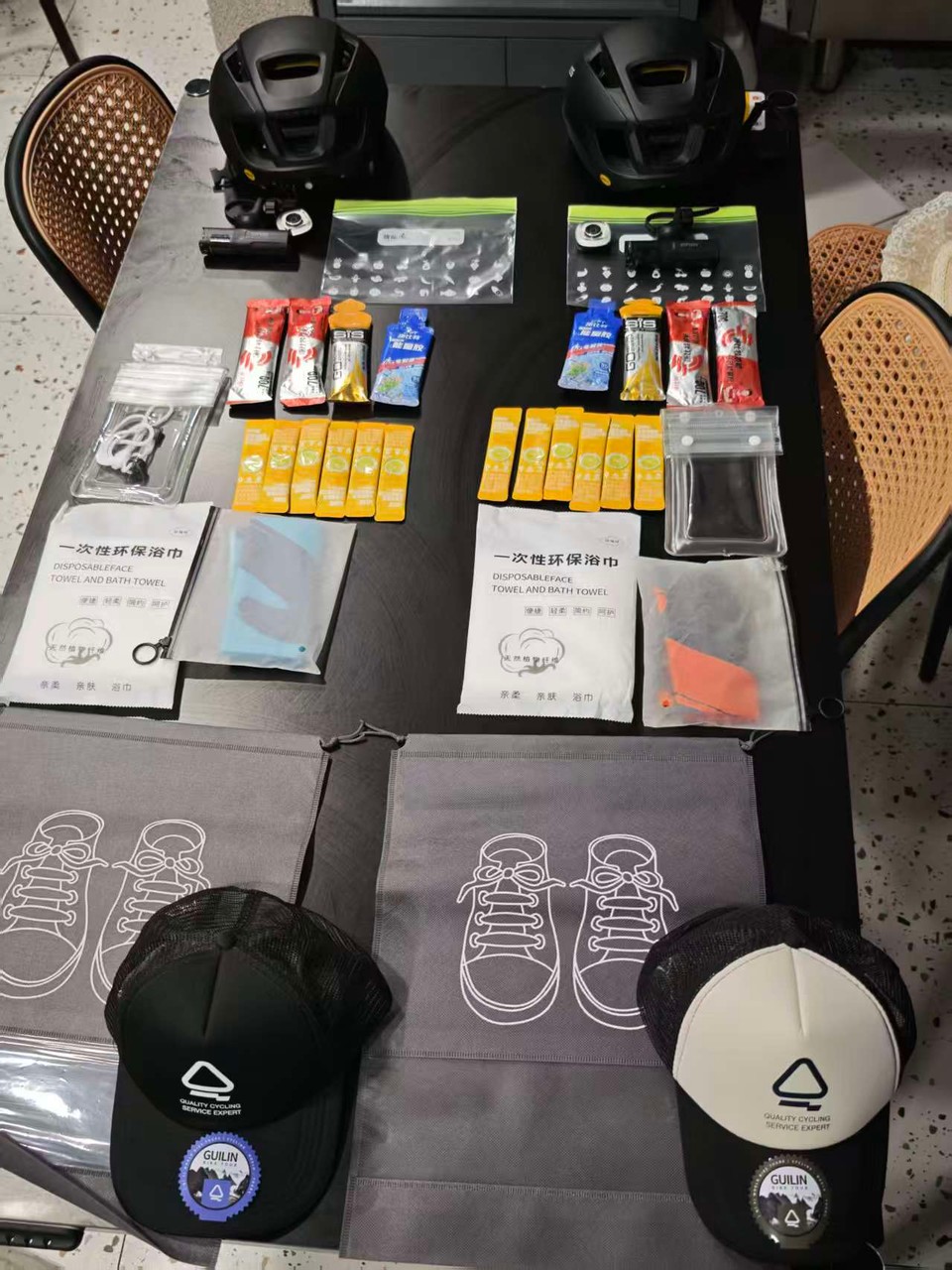
If you are renting a road, gravel or e-bike from our shops in Yangshuo, Guilin, Dali, Lijiang, Chengdu, Beijing or Wuhan to ride one of our mapped loops:
- Ask for the GPX file at handover (or download it via WhatsApp/email when we confirm your booking).
- Import the GPX into Garmin Connect, the Wahoo Elemnt app, or Komoot before you roll out of the shop.
- Follow the breadcrumb trail on your handlebar. Because both your head unit’s GPS receiver and our recorded track use WGS-84, every turn junction on the screen happens at the real junction on the road.
- Check OpenStreetMap base maps on your Garmin/Wahoo: If your international Garmin only has European or North American base maps installed, you will see a breadcrumb line on a blank screen. Either install a free WGS-84 OpenStreetMap China
.imgfile before your trip, or mount your phone on the stem alongside your computer.
Setup 2: Point-to-point city riding, coffee stops and on-the-fly detours
When you go off-route to find a café, a bike shop, a train station or your hotel, a static GPX line won’t help you—and Komoot’s OpenStreetMap database won’t know which urban overpasses ban bicycles. Use AMap (Gaode Maps / 高德地图) on your phone:
- Download AMap from the Apple App Store or Google Play before you arrive. Switch the app language to English in Settings (or download AMap Global).
- Select the “Cycling” (骑行) tab—never the Car (驾车) tab. In Chinese cities, the Car tab routes you onto elevated expressways, ring roads and highway tunnels where bicycles are illegal and dangerous.
- Choose between Bicycle and E-Bike mode if prompted, so the routing accounts for dedicated non-motorised lanes (非机动车道) and pedestrian underpasses.
- Watch the traffic-light counter: AMap’s cycling route summary shows the exact number of traffic lights (
红绿灯) on each alternative route, making it easy to pick the smoother corridor out of town. - Download offline city maps inside AMap before riding into deep river gorges (such as Beijing’s Baihe Gorge or Yunnan’s Tiger Leaping Gorge) where cellular coverage drops out.
Connectivity, eSIMs and why Strava won’t sync on hotel Wi-Fi
A second surprise hits at the end of Day 1: you finish a 90 km ride from Guilin to Yangshuo, press “Save” on your Garmin or Wahoo, connect your phone to hotel Wi-Fi, and the ride refuses to upload to Strava, Komoot or Garmin Connect International.
Here is why, and how to prevent it:
- Hotel Wi-Fi and domestic mainland SIM cards pass through the Great Firewall. Google services are blocked, Strava is blocked, and international cloud sync servers for Western apps frequently time out.
- The cleanest fix is a travel roaming eSIM (such as Airalo, Holafly, Nomad, or roaming data from your home carrier). Because roaming eSIMs tunnel data through carrier gateways in Hong Kong or Singapore, Strava, WhatsApp, Google, Komoot and Garmin Connect work normally on mobile data without needing to toggle a VPN app on and off.
- Garmin International vs Garmin China accounts: Keep your existing international Garmin Connect account (
connect.garmin.com). Do not create a separate.cnmainland account for a short trip—the two cloud databases are separate and do not automatically sync your ride history with each other without manual linking.
Battery and handlebar checklist
Phone-based navigation in China drains batteries faster than at home because roaming data, high screen brightness and continuous GPS polling run together.
- Ask for a handlebar phone mount if you are navigating by phone rather than a dedicated bike computer.
- Carry a 5,000–10,000 mAh power bank in your jersey pocket or top-tube bag on any ride over 3 hours. (Shared power-bank kiosks—怪兽充电 / 美团充电宝—are everywhere in Chinese towns and can be unlocked via Alipay or WeChat Pay, but you don’t want to hunt for one mid-climb.)
- Save your shop’s WhatsApp and WeChat contact and your hotel’s name in Chinese characters before you leave. If you need to ask a villager for directions or hail a Didi van in heavy rain, showing the Chinese characters on your screen works immediately where English romanisation will not.
FAQ
Does Google Maps work for cycling in China in 2026?
No. Google Maps lacks cycling directions in mainland China, its road data is years behind China’s rapid infrastructure changes, and its GPS position is shifted by 100 to 600 metres due to the GCJ-02 coordinate offset. Use AMap (Gaode Maps) or Apple Maps on your phone, and a WGS-84 GPX track on your Garmin or Wahoo.
Will my Strava map look shifted after I upload a ride in China?
Your recorded GPS track is saved in true WGS-84 coordinates, so on Strava’s standard OpenStreetMap-based activity map (and on global satellite views outside GCJ-shifted layers) your line will sit accurately on the road.
Can I rent a bike computer or get GPX routes from CycleQuest China?
Every rental and self-guided booking at our shops in Dali, Lijiang, Yangshuo, Guilin, Chengdu, Beijing and Wuhan includes a route briefing and our verified WGS-84 GPX tracks for the local routes. If you prefer not to stare at a screen at village junctions, our guided day rides and multi-day cycling tours put a local bilingual cycling guide on the road ahead of you.
Sources and last verified
- Standing Committee of the National People’s Congress, Surveying and Mapping Law of the People’s Republic of China (mandating GCJ-02 encrypted datum for public domestic maps)
- Garmin Support, Why GPS Tracks and Map Layers Can Offset in Mainland China (WGS-84 vs GCJ-02) (opens external site)
- Shanghai Municipal Government / AMap, Guide to Using AMap (Gaode Maps) in English for International Visitors (opens external site)
- CycleQuest China, Official 17-Route GPX Database (
WGS-84verified tracks across Guilin, Yangshuo and Longsheng)
Last verified: 17 October 2026