- By Hou Chengxing
- Published
- Last checked
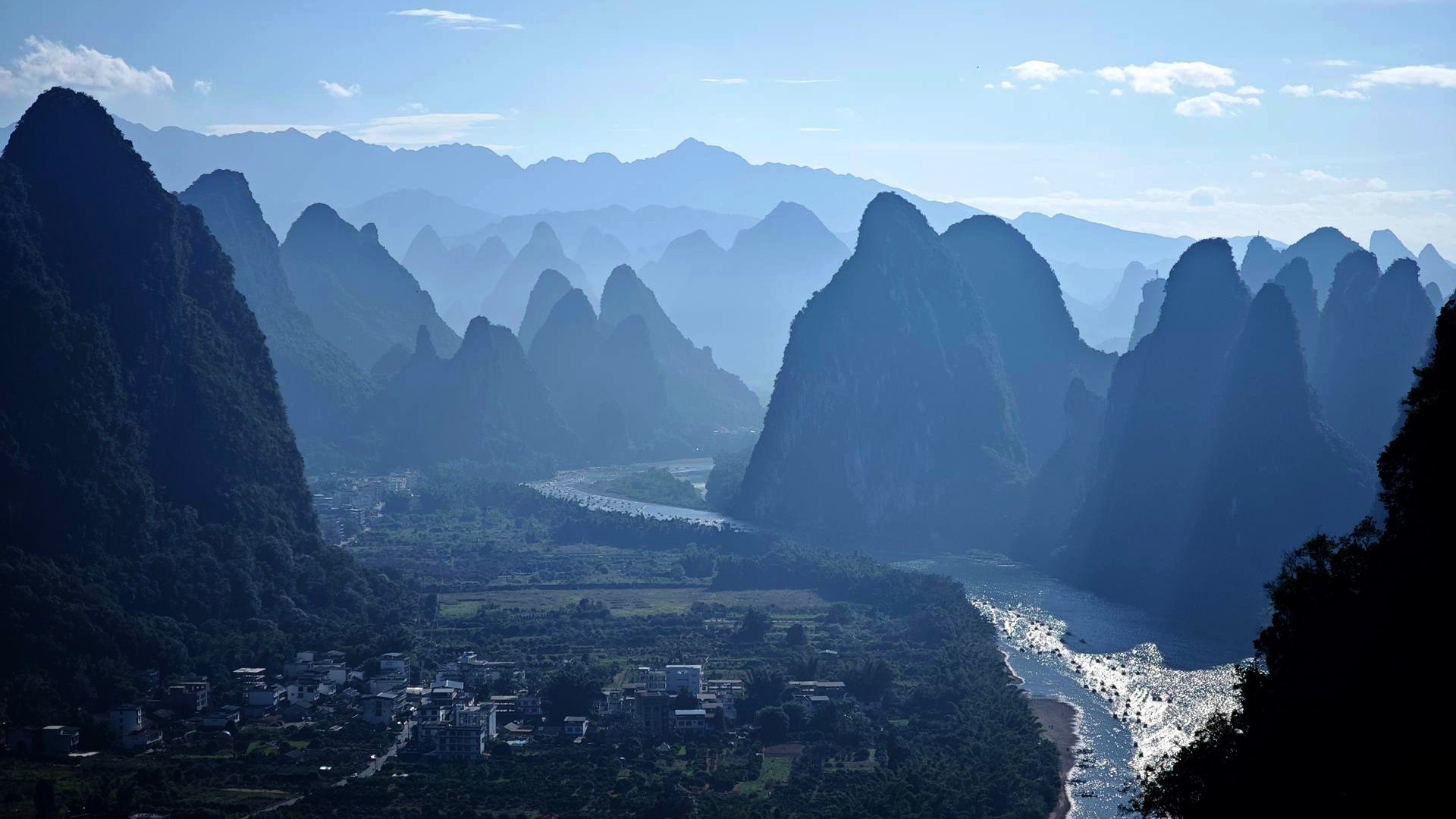
Yangshuo is flat between the karst peaks and steep wherever a road leaves the valley floor, so the loop you pick decides whether your day is easy or long. These are the eight routes our Yangshuo team rides and briefs riders on, from a flat 22 km river loop to a 136 km day of climbing. All eight start and finish at our shop in Xiatangzhai village (Qiyi Yangshuo on the route cards), on the Yulong River rather than in town, so there is no town traffic to clear before the scenery starts. Four are half-day rides on river paths and village lanes, fine on any bike or e-bike. Four are full days on country roads with real climbing, better on a road, gravel or mountain bike, or an e-bike with the right battery.
The overview map below shows every route with a GPX track, and each route card has the recorded distance, climbing and steepest climb, a map you can zoom and an elevation profile. Rent a bike or book a ride with us and we send you the GPX track for your route, ready for a bike computer or phone.
Before you ride
Quick answers
What is the best Yangshuo cycling route for beginners?
Y6, the Fuli Bridge loop: 22 km on the Yulong River bike path and village lanes with no real climbs, past two Ming-dynasty stone bridges. The only hard part is walking the bike over the steps of Yulong Bridge.
What is the best half-day bike ride in Yangshuo?
Y6 if you want the stone bridges and the bamboo rafts. Y5 if you would rather spend the morning on the quieter Jinbao River and in the villages, coming home along the Ten-Mile Gallery.
What is the best full-day ride?
On an e-bike, Y2: Xianggong Mountain, Stone City and the Qianli Jiangshan hilltop, with no climb averaging more than 6%. On a road bike with climbing in your legs, Y1: 96 km past Xianggong Mountain and Yangdi on the Li River.
Should I ride a bicycle, an e-bike or an e-scooter?
A bicycle or an electric bicycle that assists up to 25 km/h. Both are non-motor vehicles in China and need no licence. The faster step-through scooters rented in town are motor vehicles: they need a Chinese licence, and a home licence or International Driving Permit doesn't count. An e-bike is worth having in summer heat, with a child seat, or on a full-day route.
Do I need a guide to cycle in Yangshuo?
Not for the half-day river loops if you can follow a GPX track. A guide earns their place on the full days, where you will be reading Chinese road signs at village junctions and the main stops are ticketed viewpoints and hikes, and on Y8, which has no GPX track yet.
Where do the routes start?
At our shop, No. 126 Xiatangzhai Village, on the Yulong River outside Yangshuo town. If you are staying in town, we can deliver the bikes to your hotel; say so when you book.
Pick a route in 30 seconds
| Half day | Full day | |
|---|---|---|
| First ride, family or easy legs | Y6 Fuli Bridge | Y2 on an e-bike |
| Regular rider | Y5 Yulong and Jinbao rivers or Y7 Longtan | Y2 on any bike, or Y5 and Y6 back to back on an e-bike |
| Strong rider who wants climbing | Y7 Longtan, the punchiest short loop | Y1 Xianggong Mountain, Y4 Xinsilong for the steepest climb, Y3 Tianhe Waterfall for the longest day |
| Hot day, June to September | Y8 Tiger Mountain Waterfall with a swim, or Y6 before 9:00 | Y2 on an e-bike, starting early |
| Route | Distance | Ascent | Steepest climb | Level | Ride |
|---|---|---|---|---|---|
| Y6Fuli Bridge | 22 km14 mi | 123 m400 ft | — | Level 1 of 5, Easy | Half dayLoop |
| Y5Yulong River | 34 km21 mi | 231 m760 ft | avg 5.6% | Level 1 of 5, Easy | Half dayLoop |
| Y7Longtan Ancient Village | 20 km12 mi | 244 m800 ft | avg 6.6% | Level 2 of 5, Moderate | Half dayLoop |
| Y8Tiger Mountain Waterfall | 46 km29 mi | 441 m1,450 ft | avg 3.9% | Level 2 of 5, Moderate | Half dayLoop |
| Y2A Thousand Li of Rivers and Mountains | 66 km41 mi | 431 m1,410 ft | avg 6% | Level 2 of 5, Moderate | Full dayLoop |
| Y4Xinsilong | 66 km41 mi | 548 m1,800 ft | avg 16.9% | Level 4 of 5, Demanding | Full dayLoop |
| Y1Xianggong Mountain | 96 km60 mi | 1,194 m3,920 ft | avg 8.6% | Level 4 of 5, Demanding | Full dayLoop |
| Y3Lipu Tianhe Waterfall | 136 km85 mi | 1,255 m4,120 ft | avg 13.2% | Level 4 of 5, Demanding | Full dayLoop |
Two notes on the numbers. Level is our 1–5 route scale. Steepest climb is the average gradient of the steepest recorded climb, not the steepest few metres, and “—” means the route has no categorised climb. Short ramps on village lanes and up to viewpoints are steeper than that average, so keep a low gear in reserve on anything above level 1.
Half-day routes
Y6: Fuli Bridge and Yulong Bridge
The flattest ride on the list and the one we suggest to first-timers and families. From the shop you head upriver on the Yulong River bike path, past the bamboo-raft landings, to Yulong Bridge, then on to Fuli Bridge on the upper river and back through the rice fields. Both are single stone arches from the Ming dynasty’s Yongle reign. Yulong Bridge is crossed by steps, so everyone walks the bike over; on an e-bike, switch the assist off before you lift it. Fuli is the bigger arch, and on a still day it and its reflection close into a full circle.
What slows you down is people, not gradient: raft passengers crossing the path at the landings, single-file sections along the water, and a crowd on Yulong Bridge from mid-morning. Start before 9:00 for a quiet bridge. Our Fuli Bridge loop guide covers the bridges and riding with children in detail.
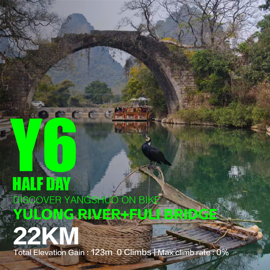
Fuli Bridge
阳朔/遇龙河+富里桥
- Distance
- 22 km14 mi
- Ascent
- 123 m400 ft
- Climbs
- No climbs
- Steepest climb
- —
Qiyi Yangshuo → Xiatangzhai → Yulongqiao Pier → Fuliqiao Pier → Qiyi Yangshuo
Best ridden on
No real climbs, so an upright city bike is genuinely the nicest way to ride it.
Loop from Qiyi Yangshuo
Prefer a guide? Our T4 Fuli Bridge Yulong River ride follows the same river path to both bridges, with a guide, a bike fitted to you and pickup from partner hotels in Yangshuo.
Y5: Yulong and Jinbao rivers
The half day for riders who want more countryside and fewer raft crowds. Y5 leaves the shop past Xiatang wharf onto the Yulong River trail, crosses to Longcun and the Jinbao River, passes through Longtan Ancient Village and comes home along the Ten-Mile Gallery road. The Jinbao gets far fewer visitors than the Yulong: quieter lanes, smaller villages, old stone bridges and water buffalo in the paddies. There is one gentle climb.
The surface is paved road, concrete village lanes and riverside path. The catch is the last leg: the Ten-Mile Gallery carries tour shuttles, scooters and cars, heaviest at weekends and holidays, so ride it single file. Stone near the river crossings is slippery after rain. The Yulong River loop guide splits Y5 into its three sections.
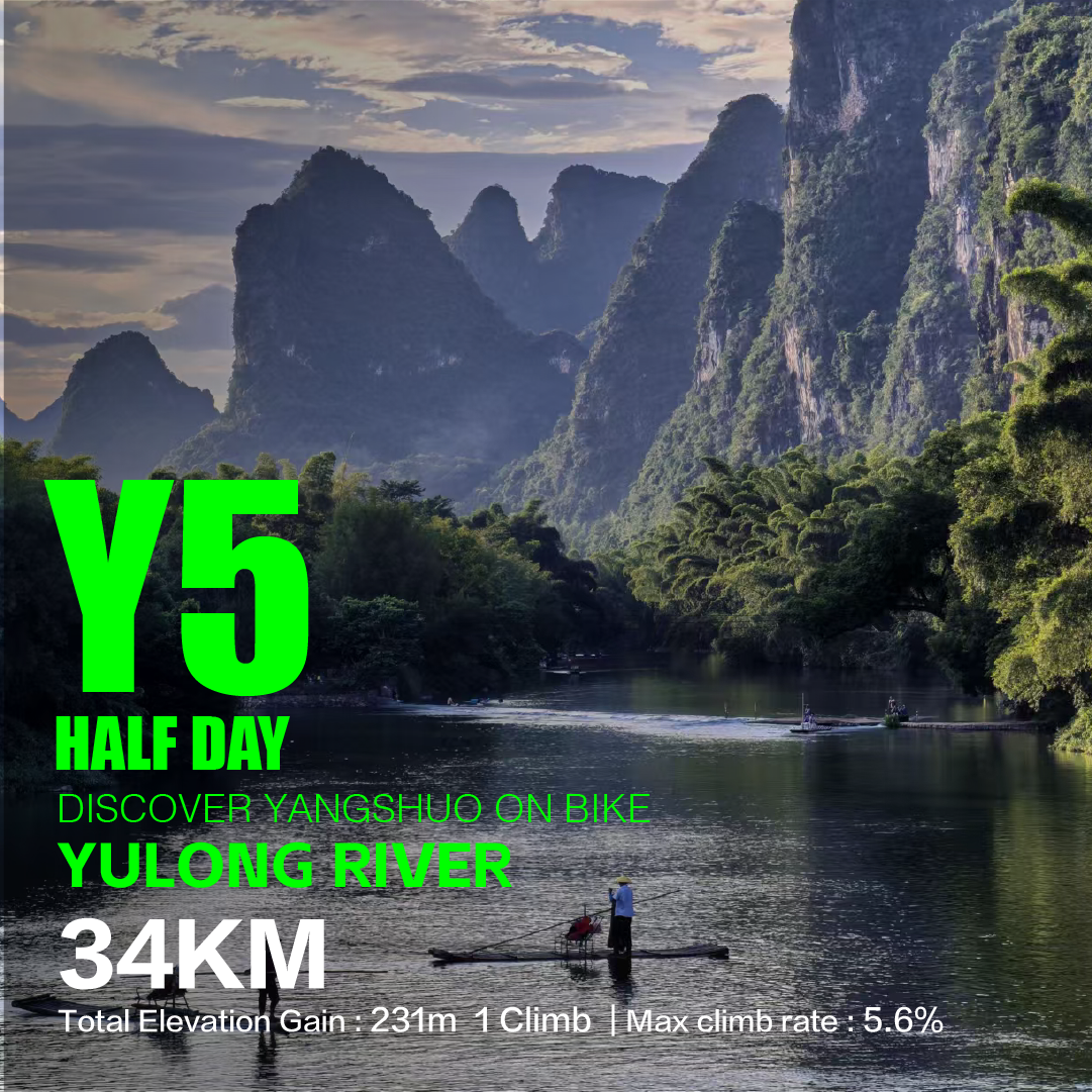
Yulong River
阳朔/遇龙河+金宝河
- Distance
- 34 km21 mi
- Ascent
- 231 m760 ft
- Climbs
- 1 climb
- Steepest climb
- avg 5.6%
Qiyi Yangshuo → Xiatang Wharf → Yulong Village / Yulong River Trail → Longcun Village → Longtan Ancient Village → 10 Mile Gallery → Qiyi Yangshuo
Best ridden on
Short and mostly gentle: an upright city bike copes with the climbs, and an e-bike irons them out.
Loop from Qiyi Yangshuo
Prefer a guide? Our T3 Yulong and Jinbao rivers ride covers the same two rivers on a different line: it adds Fuli Bridge, finishes with coffee on the Jinbao, and takes you back to your hotel by shuttle instead of along the Ten-Mile Gallery.
Y7: Longtan Ancient Village
The shortest route on the list, but not the flattest: four recorded climbs in 20 km, so it rides livelier than Y6. It crosses to Longcun wharf, goes through Longtan Ancient Village and comes back past Chaoyang Dam. Pick it once you have ridden the bridges. It needs no special bike, and an e-bike takes the edge off the climbs. There is no separate write-up for Y7 yet; the card has the map, and we go through the route with you at pickup and send you the GPX track.
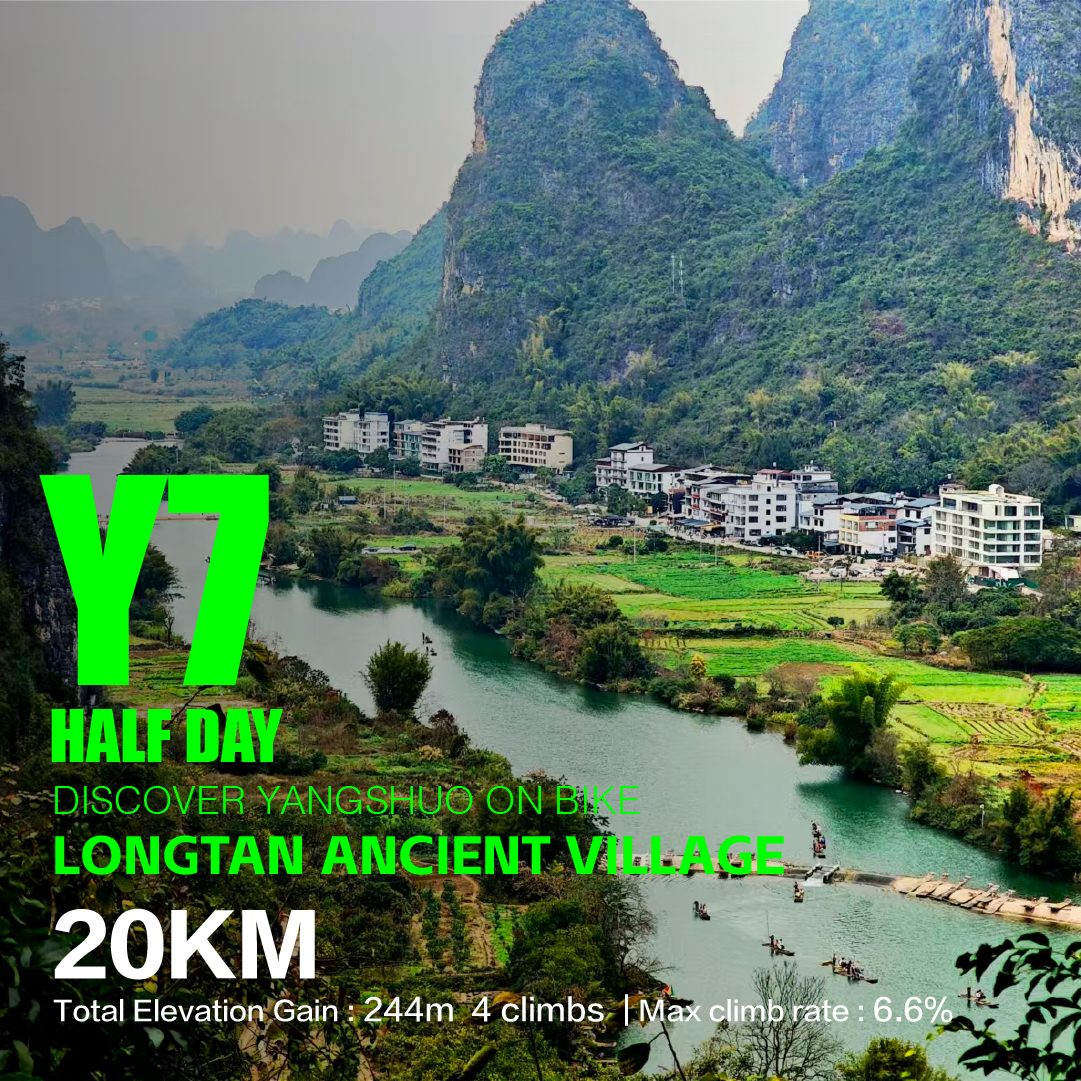
Longtan Ancient Village
阳朔/龙村码头+龙潭古村
- Distance
- 20 km12 mi
- Ascent
- 244 m800 ft
- Climbs
- 4 climbs
- Steepest climb
- avg 6.6%
Qiyi Yangshuo → Longcun Wharf → Longtan Ancient Village → Chaoyang Dam → Qiyi Yangshuo
Best ridden on
Short and mostly gentle: an upright city bike copes with the climbs, and an e-bike irons them out.
Loop from Qiyi Yangshuo
Y8: Tiger Mountain Waterfall
A summer ride, and the reason to go is at the far end. Tiger Mountain Waterfall drops in tiers down a limestone face in forest, and the rock pools at its foot are clear, cold and deep enough to swim in from May to September. The last stretch is on foot, on a forest path that is rough and often wet: bring shoes with grip, swimwear and a change of clothes. The climbing on the ride is gentle and spread out.
Y8 has no recorded track yet, so for now the guided ride is the practical way to do it.
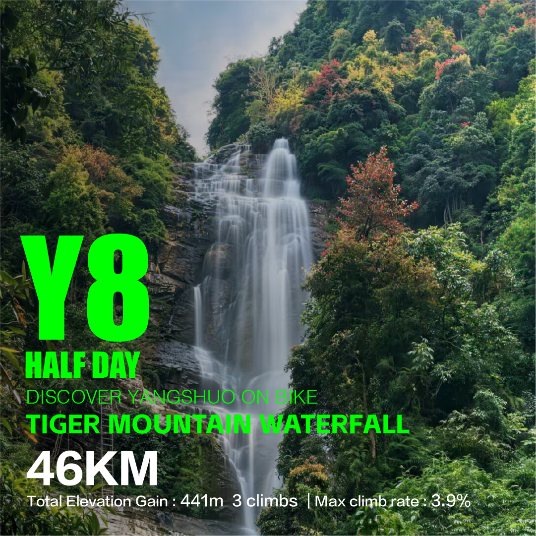
Tiger Mountain Waterfall
- Distance
- 46 km29 mi
- Ascent
- 441 m1,450 ft
- Climbs
- 3 climbs
- Steepest climb
- avg 3.9%
Best ridden on
Rolling terrain on sealed roads — anything geared for hills will do.
Loop from Qiyi Yangshuo
Prefer a guide? Our T5 Tiger Mountain Waterfall ride goes to the same falls by e-bike along the Yulong River path, with time to swim and a coffee stop on the edge of the valley before the shuttle back. The guide decides on the day whether the pools are safe for swimming.
Full-day routes
The full days leave the river valley for narrow country roads shared with local cars, farm three-wheelers, scooters and tour traffic near the viewpoints, with blind bends. The lanes have few or no streetlights, so plan to be back before dark.
Y2: Xianggong Mountain, Stone City and the Qianli Jiangshan hilltop
The full day we planned for e-bikes: Yangshuo’s big viewpoints without big climbing. It heads north to Xianggong Mountain, on the west bank of the Li River near Xingping, then to Stone City, an old hill village built entirely of stone, then the Qianli Jiangshan Tu hilltop in Putao, named after the Song-dynasty scroll A Thousand Li of Rivers and Mountains, and returns by the Yulong River at the Fuli Bridge wharf.
Two stops are on foot. The view from Xianggong over the Li River’s first great bend is about 500 stone steps above where you leave the bikes, past a ticket office; the terraces face east, so mornings are best. The last stretch into Stone City is a loose, uneven track, so walk it if the stones move under you. The hilltop has a basic toilet but no shop; keep some water back. Allow the whole day: around four hours of riding, with walks, photos and lunch filling the rest.
Kuang and Hou from our Yangshuo team last inspected Y2 in July 2026; the Y2 e-bike loop guide has their notes. On our step-through e-bikes, Y2 is at the edge of what one battery covers, so tell us you are riding it and we will match the bike to the route.
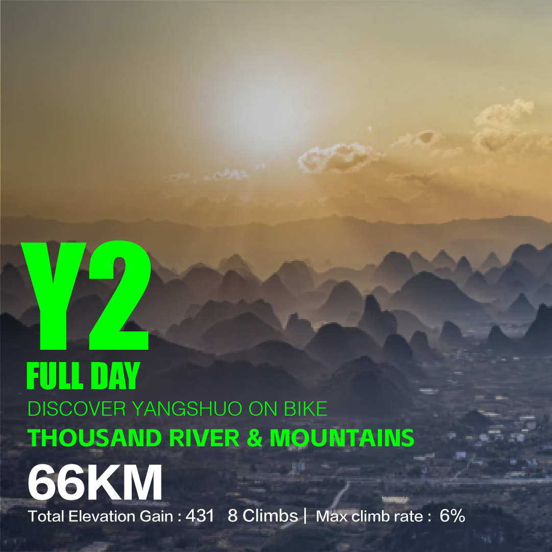
A Thousand Li of Rivers and Mountains
阳朔/相公山+千里江山图
- Distance
- 66 km41 mi
- Ascent
- 431 m1,410 ft
- Climbs
- 8 climbs
- Steepest climb
- avg 6%
Qiyi Yangshuo → Xianggong Mountain → Stone City → A Thousand Li of Rivers and Mountains → Yulong River / Fuli Bridge Wharf → Qiyi Yangshuo
Best ridden on
Rolling terrain on sealed roads — anything geared for hills will do.
Loop from Qiyi Yangshuo
Prefer a guide? Our T2 Thousand River and Mountains ride shares Xianggong Mountain, Stone City and the hilltop, adds the ladder hike up Damian Mountain above the Li River’s first bend, and finishes at the hilltop for sunset, which a self-guided Y2 rarely manages. Going to Damian Mountain on your own? Read our Damian Mountain bike-and-hike guide first.
Y4: Xinsilong
The same distance as Y2 and a very different ride: Y4 has the steepest recorded climb of any route in our Yangshuo book. It goes out past Rock Wall Coffee, follows the 085 township road to Xinsilong, where a river bends below twin karst peaks, and comes back through Puyi township.
Scrub the elevation profile on the card below to find that climb. Bring a genuinely low gear or an e-MTB, expect to walk the steepest pitch if your gearing runs out, and on the way down brake in a straight line before each bend, more so if the road is wet. There is no write-up or guided version of Y4 yet; ask for the briefing at pickup.
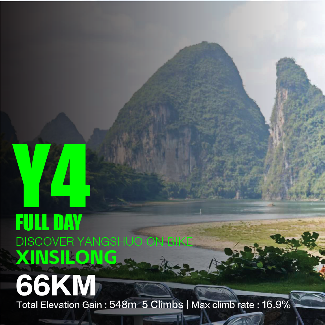
Xinsilong
阳朔/金宝河+新思龙
- Distance
- 66 km41 mi
- Ascent
- 548 m1,800 ft
- Climbs
- 5 climbs
- Steepest climb
- avg 16.9%
The steepest climb averages 16.9% — steep enough that gearing decides it. Ask us about low gears or an e-bike.
Qiyi Yangshuo → Yangshuo County Rock Wall Coffee → 085 Township Road → Xinsilong → Puyi Township → Qiyi Yangshuo
Best ridden on
The steepest climb decides this one: bring a motor or a very low gear.
Loop from Qiyi Yangshuo
Y1: Xianggong Mountain and Yangdi
Our road riders’ loop. It heads north to Xianggong Mountain, through the rural Tuling area to Yangdi on the Li River, and back south through the valleys, with twelve recorded climbs; the key one is about 1.4 km long. Yangdi is the upstream end of the Yangdi to Xingping stretch of the Li, where bamboo rafts leave for Xingping and the cruise boats from Guilin pass, and it makes a good lunch stop.
The road is fully paved, about nine-tenths cement, so 28–32 mm tyres are kinder than a narrow racing setup. There were shops near Xianggong Mountain and Yangdi at our July 2026 inspection, but carry two bottles and enough food anyway. Expect six to eight hours of riding and start early. An e-bike takes the sting out of the climbs, not the distance, and its battery has to last the whole loop: talk to us first. The Xianggong Mountain loop guide has the full climbing and surface notes.
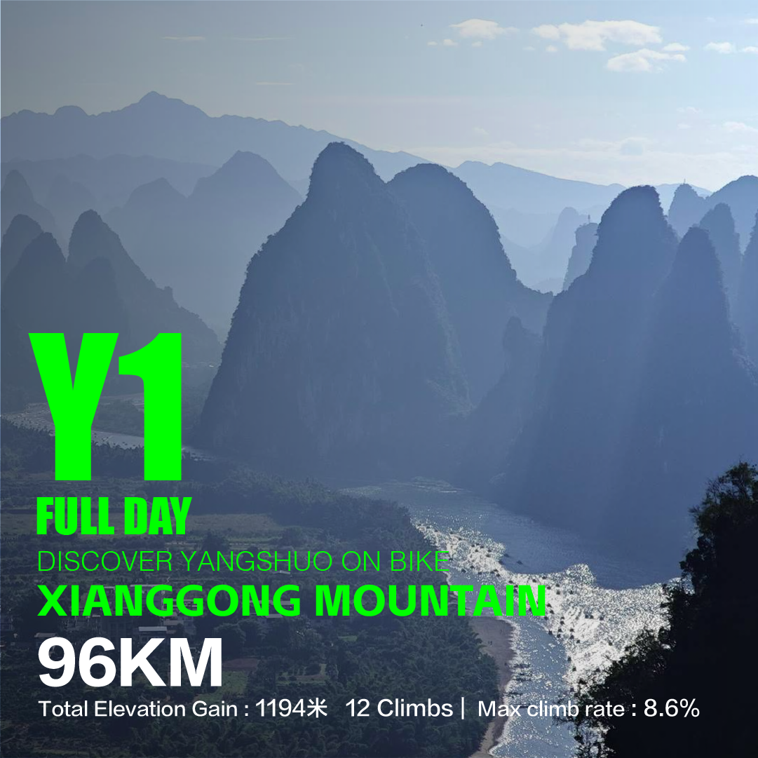
Xianggong Mountain
阳朔/相公山+杨堤码头
- Distance
- 96 km60 mi
- Ascent
- 1,194 m3,920 ft
- Climbs
- 12 climbs
- Steepest climb
- avg 8.6%
Qiyi Yangshuo → Xianggong Mountain → Tuling → Yangdi Wharf → Qiyi Yangshuo
Best ridden on
A long day with sustained climbing — drop bars or a motor.
Loop from Qiyi Yangshuo
Prefer a guide? Our T1 Xianggong Mountain ride visits Xianggong Mountain and Yangdi on a shorter line, adding the Seven Fairies Peak tea garden, a scramble up to the cliff-edge Immortal Platform, lunch by the river at Yangdi and the Qianli Jiangshan hilltop at sunset.
Y3: Lipu Tianhe Waterfall
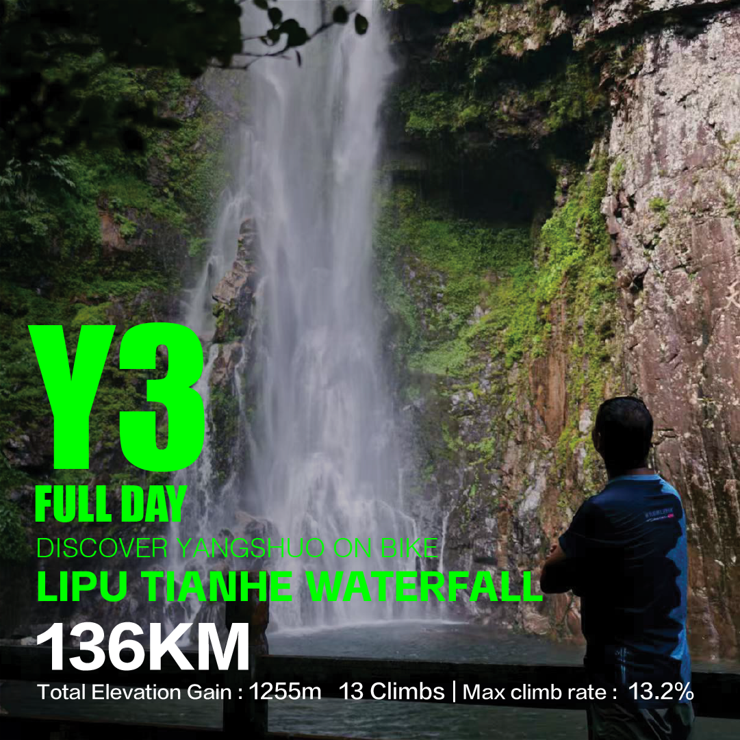
The longest loop in our Yangshuo book and the only one over 100 km. It leaves along the Yulong and Jinbao rivers, runs through Longcun and Yangjiachong, climbs into neighbouring Lipu to Tianhe Waterfall and loops back to the shop: thirteen recorded climbs, the steepest of them a hard one. Ride it only if you already do 100 km-plus days with climbing. Start at first light, carry food for the whole day, and on an e-bike, sort out the battery with us first. There is no write-up or scheduled guided version; if you want a guide or a support vehicle on Y3, ask well in advance.
Lipu Tianhe Waterfall
阳朔/金宝河+荔浦天河瀑布
- Distance
- 136 km85 mi
- Ascent
- 1,255 m4,120 ft
- Climbs
- 13 climbs
- Steepest climb
- avg 13.2%
The steepest climb averages 13.2% — steep enough that gearing decides it. Ask us about low gears or an e-bike.
Qiyi Yangshuo → Yulong River → Jinbao River → Longcun → Yangjiachong → Lipu Tianhe Waterfall → Qiyi Yangshuo
Best ridden on
The steepest climb decides this one: bring a motor or a very low gear.
Loop from Qiyi Yangshuo
Riding in from Guilin, and one very big day
Two one-way, full-day road routes link our Guilin and Yangshuo shops. Collecting a bike in Guilin and returning it in Yangshuo has to be agreed when you book through Guilin bike rentals.
- G6, via Caoping. Through Daxu Ancient Town and Caoping, across the Li River on the local ferry at Banbiandu with your bike, then through Putao to Yangshuo. The national-highway sections after the ferry carry trucks and buses. See the G6 route guide.
- G7, via Qianjing and Xingping. Longer, with about twice G6’s climbing and no ferry: Daxu, the old village of Qianjing, the Qianli Jiangshan observation deck and the viewpoint over the high-speed railway, then down into Xingping. See the G7 route guide.
L1, Yangshuo to Hongtan Waterfall, is the biggest day in our Guangxi route book: 152 km one way from our Yangshuo shop, up National Highway 321 and through Wantian Yao Ethnic Township and Yanzhoujie to Hongtan Waterfall in Longsheng. G321 carries heavy mixed traffic and there is no scheduled public transport from the finish, so book your return vehicle before you roll out. The L1 route guide covers pacing and support.
Bicycle, e-bike or e-scooter?
Three different vehicles hide behind the “e-bike rental” signs in Yangshuo. A pedal bicycle and an electric bicycle that assists you up to 25 km/h are both non-motor vehicles under Chinese law: no licence needed. The step-through scooters and mopeds that go faster are motor vehicles that need a Chinese motorcycle licence, and a foreign licence or International Driving Permit doesn’t cover them. Riding one anyway means riding an unlicensed motor vehicle, which travel insurance often excludes. Our guide to renting an e-bike in Yangshuo explains the 25 km/h standard and how to tell what a shop is offering you.
| Route | Do you need an e-bike? |
|---|---|
| Y6, Y5, Y7 | No. Worth it in summer heat, with a child seat, or to add a second loop. |
| Y8 | Not for the climbing; it saves your legs for the hike. |
| Y2 | It is the bike Y2 was planned for. Tell us the route so the battery suits the day. |
| Y4 | An e-MTB turns the steepest climb from a walk into a ride. |
| Y1, Y3 | Only with a battery matched to the route; not on a standard step-through e-bike. |
| G6, G7, L1 | Each is longer than one standard battery covers. On G7 and L1, plan for a spare battery or a support vehicle. |
Renting a bike in Yangshuo
Plenty of shops on and around West Street rent by the day, and many of the “e-bike” signs there are for scooters. For the out-and-back along the Ten-Mile Gallery to Moon Hill, a basic hire bike from town is fine, and our Ten-Mile Gallery guide covers that ride. For a full day of climbing, check the bike harder. Before you ride away from any shop:
- Brakes and tyres. Squeeze both levers hard and push: the bike should not roll. Tyres firm, with no cuts or bulges.
- Gears and saddle. Run through every gear on a short test ride; Y3 and Y4 need a properly low one. Your leg should be slightly bent at the bottom of the pedal stroke.
- Lights, front and rear, if there is any chance you will be out near dusk.
- Battery, on an e-bike: full charge, and the assist engages smoothly and cuts out when you stop pedalling.
- Photos and contacts. Photograph the bike, including existing scratches, and save the shop’s WhatsApp.
- GPX. Ask for the track of your route and load it before you leave.
Every rental from our Yangshuo shop includes a helmet (mandatory, at no charge), a pre-ride setup of saddle height, tyre pressure and brakes, our WGS-84 GPX files for the Yangshuo and Guilin routes, a route briefing, and personal accident insurance for each rider, which is why we ask for your passport photo page. Road, gravel, mountain and kids’ bikes, step-through e-bikes and e-MTBs, with sizes and prices, are on the Yangshuo bike rentals page.
Self-guided or guided?
Ride self-guided if you can follow a GPX track and want your own pace: Y5, Y6 and Y7 work that way, and so do Y1 and Y2 for experienced riders. Book a guide if you would rather not navigate, are riding with children, or want a day built around stops that take organising: the ticketed climb at Xianggong Mountain, the hikes to Immortal Platform and Damian Mountain, and the sunset hilltop. The same goes for Y8 until it has a GPX track. Our guided day rides in Yangshuo add a cycling guide, insurance, water and snacks, and pickup from partner hotels in Yangshuo; each ride’s page lists exactly what is included.
For several days of this with a support van behind the group, see our 6-day Yangshuo bike tour through Guilin, Yangshuo and the Li River.
When to ride
| Months | What to expect |
|---|---|
| March to May | Mild riding weather. Rapeseed flowers usually bloom from early March to mid-April. Showers build from April, and April to June is usually the wettest stretch. |
| June to September | Afternoons pass 30°C, with little shade among the paddies, and summer storms carry on into August. Ride early; Y8’s swimming season runs from May to September. |
| October and November | The clearest air of the year and the best months for the viewpoint days. In China’s national holidays, above all the first week of October, the road up to the Qianli Jiangshan hilltop jams and the Ten-Mile Gallery gets busy. |
| December to February | The shortest days. Check the sunset time for your date and plan to be off the country lanes before dark. |
After heavy rain the Yulong rises quickly: low riverside sections can flood and the raft landings may stop running. If it poured overnight, message us on the morning of your ride and we will tell you what the river path is like.
Navigation and safety
- Navigation. Google Maps works poorly in mainland China. Load the GPX track onto a bike computer or phone, or use AMap. The base map under the track can look shifted by hundreds of metres; trust the track line. Our cycling navigation guide explains the offset and which devices handle it.
- Your hotel in Chinese. Save its name and address in Chinese characters to show a driver or a villager.
- Payment. Village shops and cafés expect Alipay or WeChat Pay; carry some cash too. Our Alipay guide walks through the setup.
- Wet surfaces. Village flagstones, weirs and cement lanes get very slippery after rain. Brake in a straight line before you reach wet stone.
- Traffic. Blind bends on the narrow lanes, farm three-wheelers and scooters at junctions, tour shuttles on the Ten-Mile Gallery, and trucks and buses on the national highways used by G6 and L1.
Sources
- CycleQuest China route book: routes Y1–Y8, G6, G7 and L1, recorded on the road by our team. The distances, climbing, gradients and maps on the route cards come from it; the GPX tracks go to riders who rent or ride with us. Latest field inspections: Y1 and Y2 on 16 July 2026, Y5 on 21 July, L1 on 22 July, G6 on 25 July and G7 on 30 August 2026.
- Our route guides linked in each section above, plus spring riding in the Ten-Mile Gallery.
- Stop notes from our guided day rides T1–T5.
- Our e-bike rental guide, which lists the official sources for the 25 km/h standard and visitor licence rules, the Yangshuo bike rentals page and our rental terms.